Laboratory
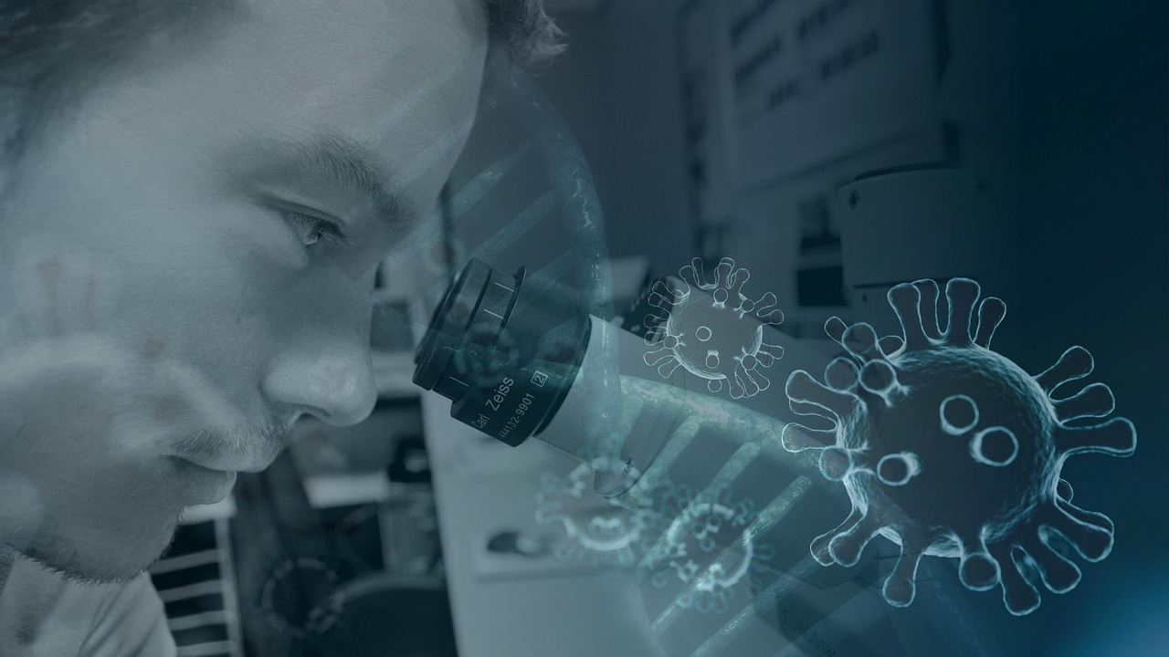
Advanced Laboratory
State-of-the-art instruments for environmental testing, sample analysis and precision research workflows.
The River Knowledge Center serves as an integrated platform for scientific research, environmental monitoring and collaborative conservation planning. It connects facilities, datasets and learning resources in one clear digital experience.
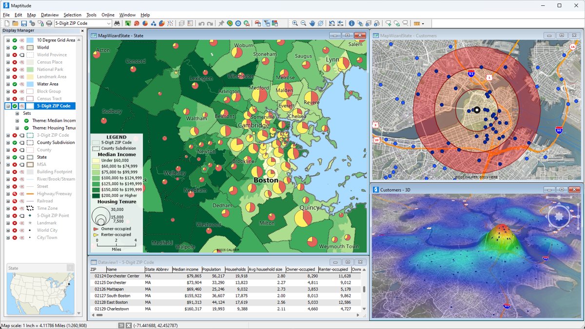
Built around laboratories, analysis spaces and computing support for field-to-insight workflows.
Map-based understanding of tributaries, basin hierarchy and environmental monitoring locations.
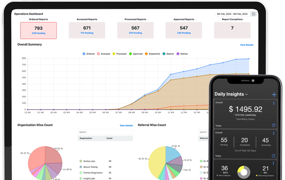
Structured indicators and dashboards that help teams interpret river health conditions faster.
Accessible educational material for students, researchers, planners and partner institutions.
These facilities support field-based analysis, applied research and advanced computational work, giving researchers a complete environment for river basin studies and evidence-based planning.
These high-level indicators give visitors an immediate understanding of the platform scope and the value of its research, mapping and knowledge components.
Clearly organized areas for mapping, repository access, dashboards and learning.
Research environments spanning laboratory, innovation and computing capacity.
Tributary levels presented in a clear spatial structure for analysis.
Knowledge and resource discovery available anytime through the portal interface.
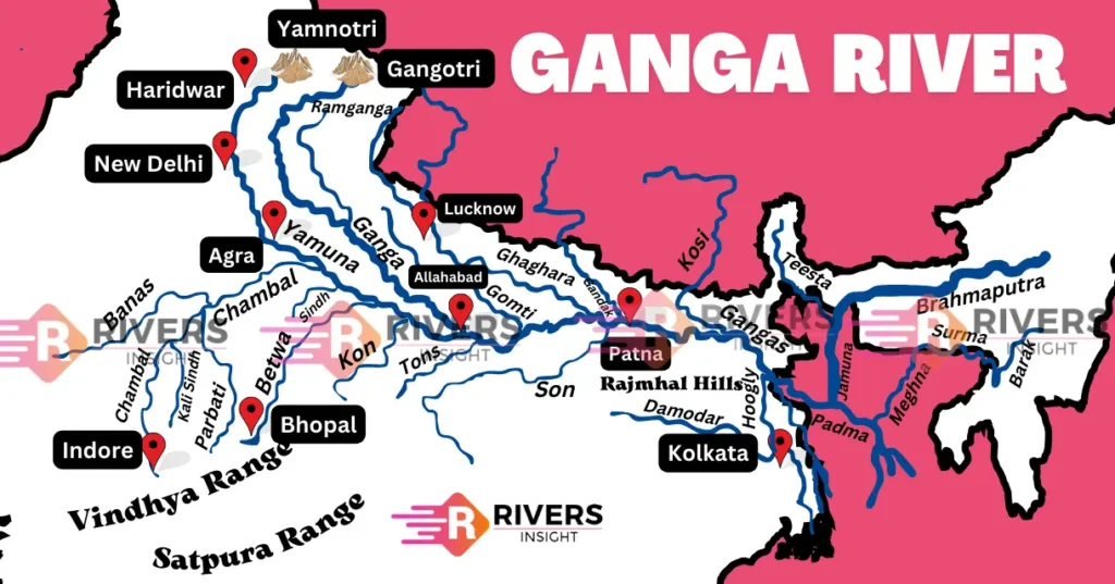
This basin map presents the river network with major tributaries grouped into L1, L2 and L3 categories. It helps researchers, planners and decision-makers understand system-wide relationships, monitoring points and river health patterns more effectively.
The portal is organized into practical modules so users can move from exploration to analysis, knowledge access and learning without losing context.
Field investigation, laboratory analysis and computational modelling brought together in one portal.
A single destination for geospatial insights, knowledge assets, dashboards and academic learning.
Structured digital resources that improve visibility, understanding and long-term decision support.
This section gives the homepage more immediate utility by surfacing high-interest content areas instead of making visitors search for everything after they land on the page.
Whether the focus is basin mapping, research discovery, environmental indicators or institutional understanding, the homepage now gives visitors a clearer route into the portal.